OHM Littoral Caraïbe
Accueil
Connexion
L'OHM LC
Equipes de recherche
Recherche
Thématiques
Programmes de recherche
APR LabEx DRIIHM
Valorisation
Publications scientifiques
Séminaires
Médias
Outils
Métadonnées / Données
Galerie photo
Frise chronologique
Cartographie narrative
Autres OHMs
Photo-DRIIHM
About
Home
>
OHM Littoral Caraïbe
>
Photographies historiques
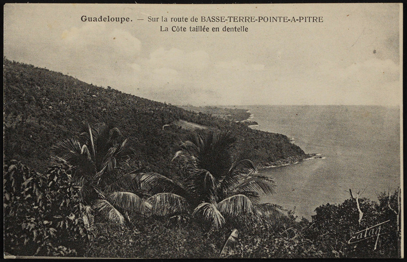
Sur la route de Basse-Terre-Pointe-à-Pitre. La Côte taillée en dentelle
Anse Bernard ? Entre 1920 et 1950.
Author : Catan
Lat : 15.986249, Lon : -61.617680
histoire
,
infrastructures
,
paysage
,
port
For more information you can visit the image page on photo.driihm.fr ->
Link