OHM Littoral Caraïbe
Accueil
Connexion
L'OHM LC
Equipes de recherche
Recherche
Thématiques
Programmes de recherche
APR LabEx DRIIHM
Valorisation
Publications scientifiques
Séminaires
Médias
Outils
Métadonnées / Données
Galerie photo
Frise chronologique
Cartographie narrative
Autres OHMs
Photo-DRIIHM
About
Home
>
Locations
>
OSM15.873506779902097
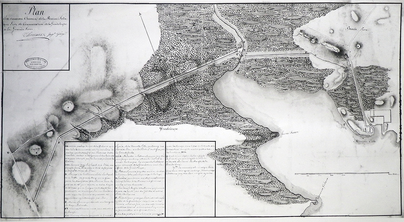
Plan du nouveau chemin de la Rivière Salée
Plan du Petit Cul-de-Sac Marin
Author : Ingénieurs du Roy
Lat : 16.238000, Lon : -61.544000
carte
,
histoire
,
Petit Cul-de-Sac Marin
,
port
For more information you can visit the image page on photo.driihm.fr ->
Link